Cartography & Visualization
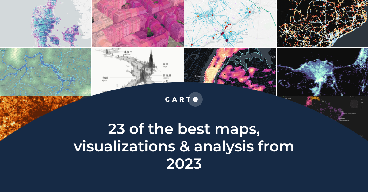


23 of the best maps, visualizations & analysis from 2023
Explore 23 of the best maps and visualizations of 2023. From advanced analytics to awesome visualizations with huge geospatial data.
.png)

Pie Charts: An Effective Data Visualization Tool?
A guide to creating Pie Charts for effective spatial Data Visualization & dashboards, including best practice and examples.

Map tiles: 5 examples to get started
Learn how to effectively visualize geospatial data with tilesets, including a step-by-step guide and 5 examples to inspire you!


Power 3D Maps with Google Maps Platform, CARTO & deck.gl
Learn how to leverage photorealistic 3D map tiles with this collaboration from Google Maps Platform, CARTO, and deck.gl.

5 maps you didn't know you could create with SQL
Did you know you can use Spatial SQL to create amazing maps and data visualizations? Learn how with these five examples.
.png)

Map Tiles: Everything You Need To Know
An introduction to map tiles: a method for visualizing big spatial data, including a guide for generating map tiles with Spatial SQL.

22 of the best maps, visualizations & analysis from 2022
A round-up of some of our favorite pieces of analysis, maps and visualizations using CARTO from 2022 in areas including retail, transport, climate & more!

How to create Google Street View pop-ups with CARTO
CARTO's guide to using Google Street View images in your map pop-ups.


Simplified tileset creation for streamlined app development
Discover the latest updates to CARTO’s BigQuery Tiler, simplifying the SQL code & reducing the processing steps required to ingest & visualize large datasets
.png)
How to Visualize Urban Growth with Spatial Analytics in BigQuery
How has your city or urban area grown? Discover how to create an Urban Growth visualization using open data & CARTO's Spatial Analytics in BigQuery.


Our Thoughts as MapboxGL JS v2.0 Goes Proprietary
With Mapbox announcing a change in their licensing this week, we share our thoughts on this news, basemap neutrality, & the future of spatial app development


CARTO Provides Free Visualization Software for Organizations Fighting COVID-19
The CARTO Grants for Good program gives organizations fighting COVID-19 access to our platform for mapping & visualization of the outbreak

Academy

New CARTO Boundaries for faster visualizations in spatial apps
Announcing CARTO Boundaries for faster spatial app visualizations! Join data with pre-generated vector tilesets for efficient processing.

Build insights at scale with the new CARTO Spatial Features data
Announcing CARTO Spatial Features 3.0! Explore global human activity, night light intensity & telecom infrastructure spatial data.

5 things we’re excited for at SDSC London 2024
Discover the latest in Spatial Data Science at SDSC London 2024! From climate risk management to AI solutions - get your tickets now!